
General Information
Project Type
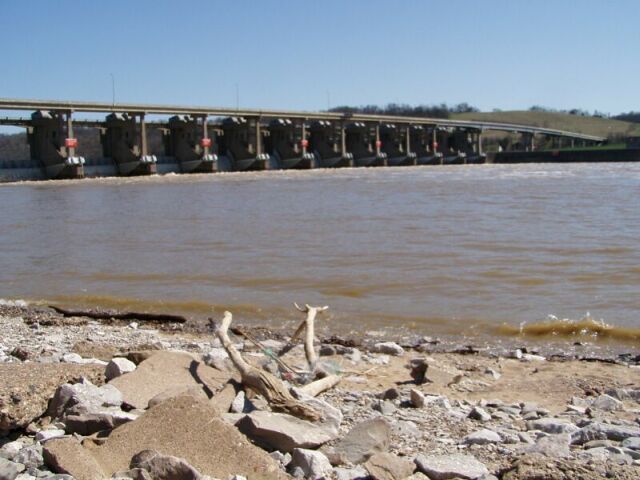
| Function / usage: |
Lock |
|---|
Location
| Location: |
Switzerland County, Indiana, USA Gallatin County, Kentucky, USA |
|---|---|
| Impounded: |
|
| Coordinates: | 38° 46' 37" N 84° 57' 52" W |
Technical Information
Dimensions
| length | 425.2 m |
Participants
Currently there is no information available about persons or companies having participated in this project.
Relevant Web Sites

- About this
data sheet - Structure-ID
20050863 - Published on:
26/12/2009 - Last updated on:
16/05/2015
Structurae cooperates with


