

General Information
| Name in local language: | Haringvlietdam |
|---|---|
| Beginning of works: | November 1958 |
| Completion: | 15 November 1971 |
| Status: | in use |
Project Type
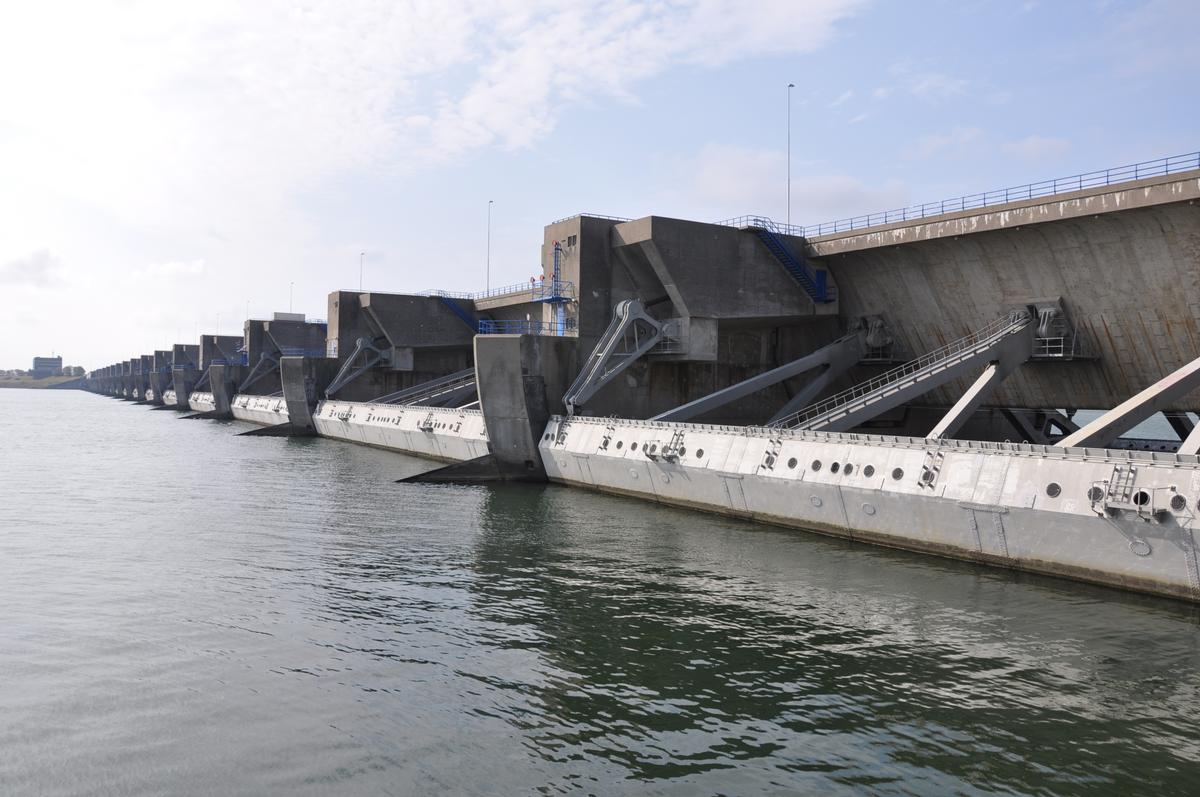
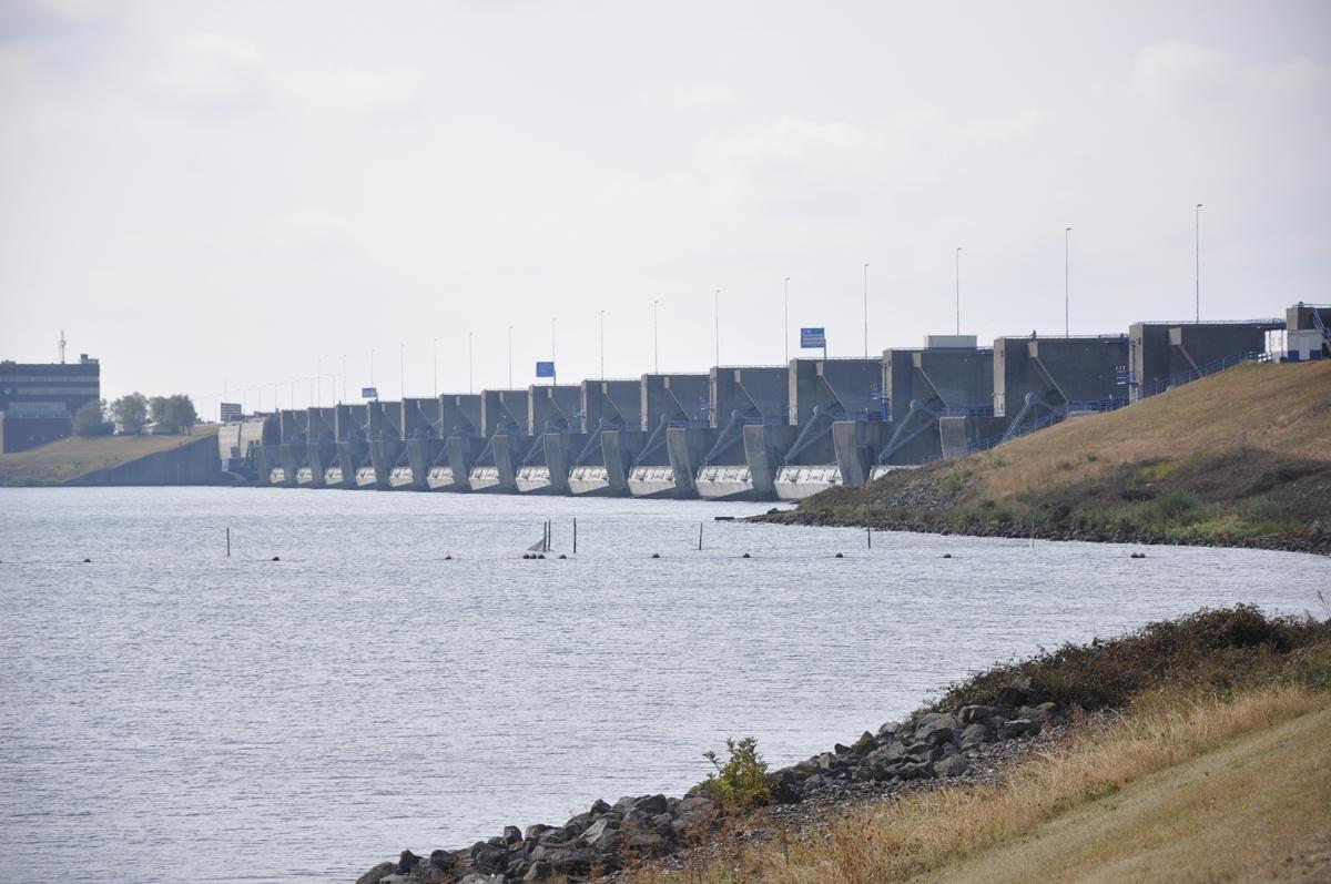
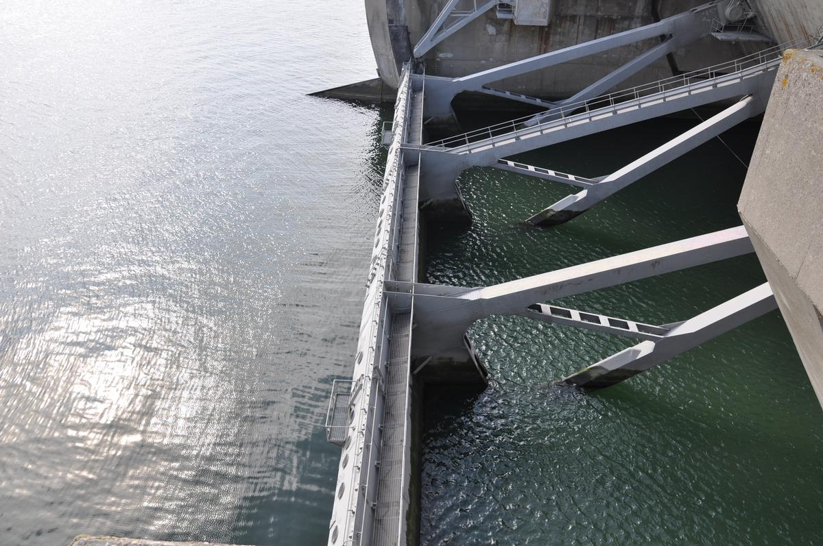
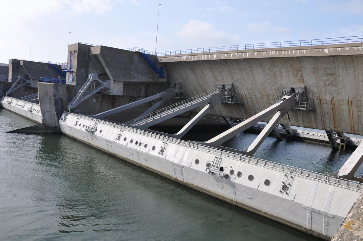
| Structure: |
Mobile barrage Embankment dam |
|---|---|
| Function / usage: |
Flood-control dam Causeway (road) |
Location
| Location: |
Goeree-Overflakkee, South Holland, Netherlands Voorne-Putten, South Holland, Netherlands |
|---|---|
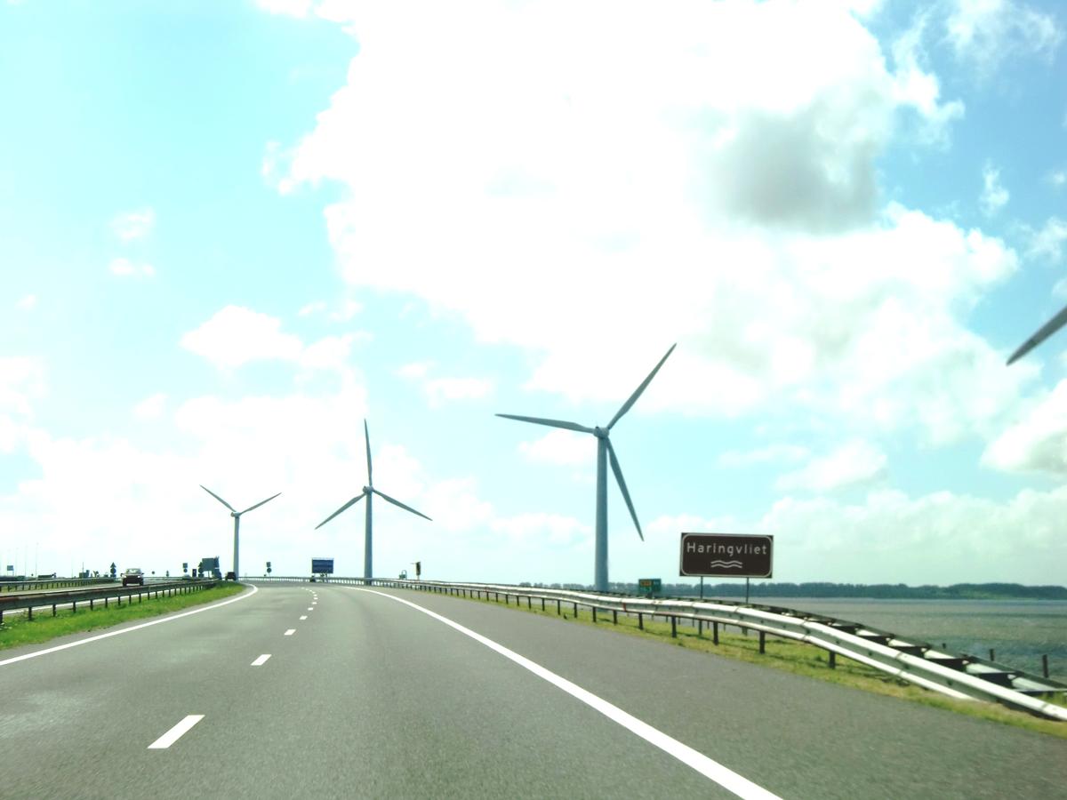
| Address: | N57 (carried) |
| Impounds: |
|
| Part of: | |
| Coordinates: | 51° 50' 36.90" N 4° 4' 16.48" E |
| Coordinates: | 51° 49' 20.86" N 4° 2' 15.06" E |
Technical Information
Dimensions
| width | 56 m | |
| total length | 5 000 m | |
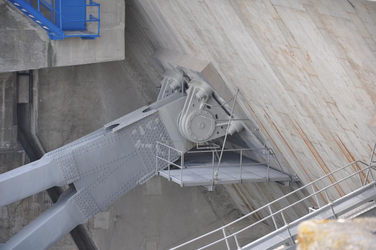
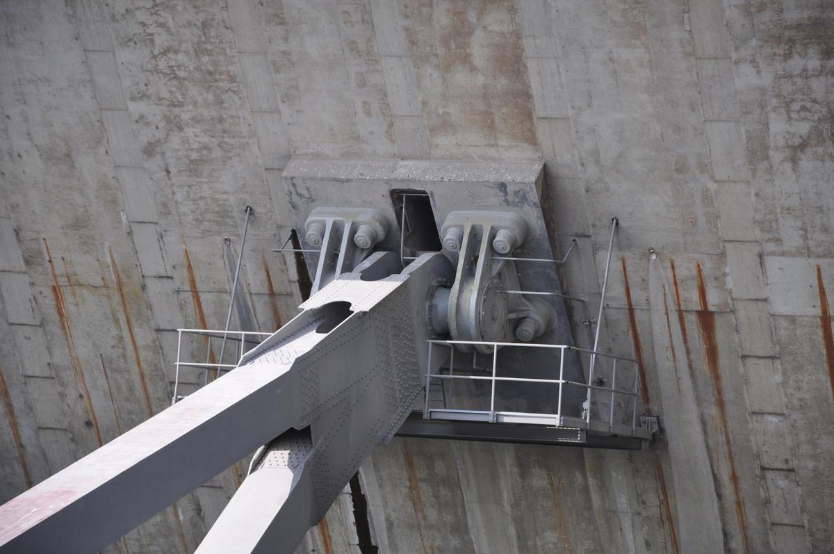
| sluice gates | main span | 56.5 m |
| number | 17 |
Participants
Owner
Relevant Web Sites

- About this
data sheet - Structure-ID
20024282 - Published on:
26/10/2006 - Last updated on:
04/08/2014
Structurae cooperates with


